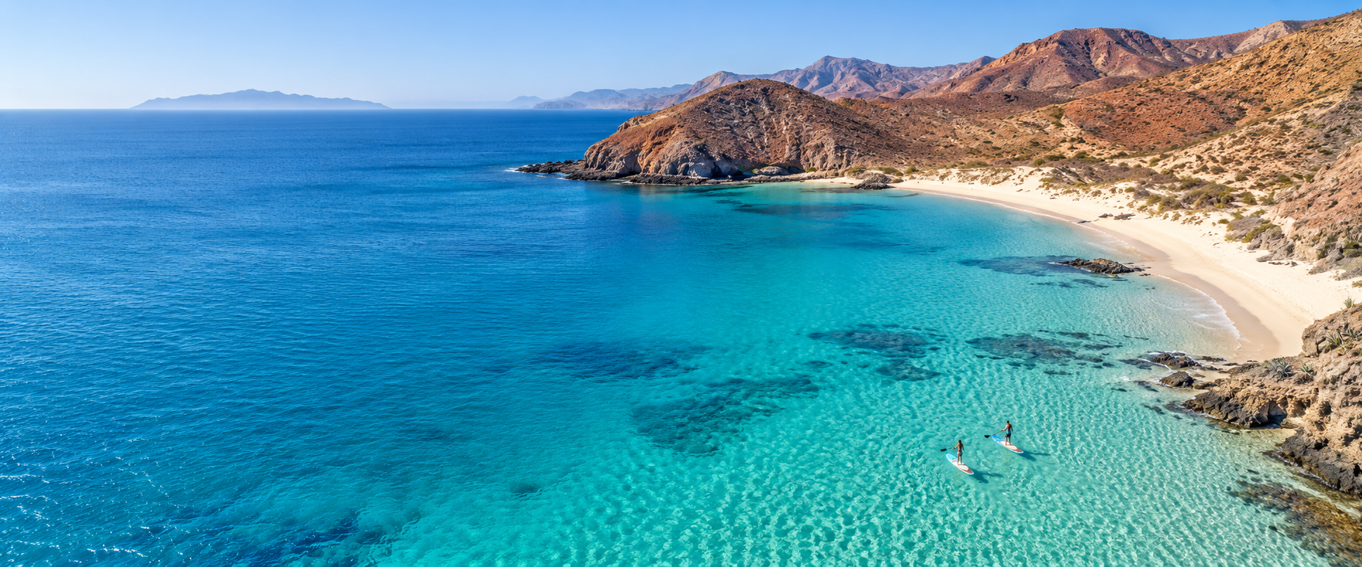
Location · Baja California
Where the desert
meets the Pacific.
Regional position
A distinctive stretch of Baja’s Pacific coast.
Distances by road
San Diego, USA
By road, via Tijuana and Mexican Federal Highway 1
≈ 400 km (250 mi)
Tijuana border crossing
Federal Highway 1 south, via Ensenada
≈ 355 km (220 mi)
Ensenada
Federal Highway 1 south
≈ 250 km (155 mi)
El Rosario
Nearest town, reached from Highway 1 by local road to Bahía del Rosario
≈ 24 km (15 mi)
International airports
Tijuana (TIJ)
Nearest international airport, reached by road along Federal Highway 1
≈ 355 km (220 mi)
San Diego (SAN)
Reached by road via Tijuana and Federal Highway 1
≈ 400 km (250 mi)
Los Angeles (LAX)
Reached by road via Federal Highway 1 and Interstate 5
≈ 590 km (370 mi)
Climate
Mild seasons,
shaped by the Pacific.
The ocean moderates the coastal climate, bringing temperate summers and gentle winters. Rain falls mainly in the cooler months, while occasional morning mist softens the coastline—a natural rhythm that shapes everyday life by the sea.
- Average temperature across the year
- 19 °C (66 °F)
- Average rainfall across the year
- ≈155 mm (6 in)
- Pacific water temperature, approximate
- 15–20 °C (59–68 °F)
Indicative long-term averages for the El Rosario area. On-site readings will be collected during planning; verify current conditions before travel.
Explore Baja
From ocean adventures to wine country.
The region around Cielo Mar offers a rare range of landscapes and pastimes — all within reach along the Pacific coast of northern Baja.
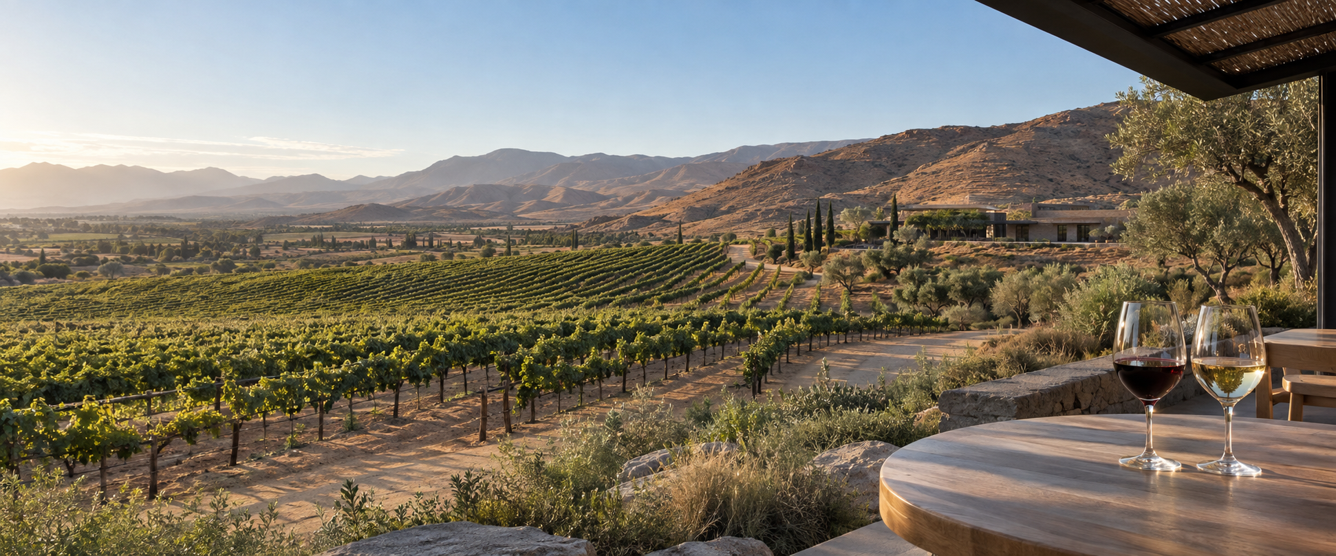
Wine region
Explore the vineyards and wineries of Valle de Guadalupe, near Ensenada.
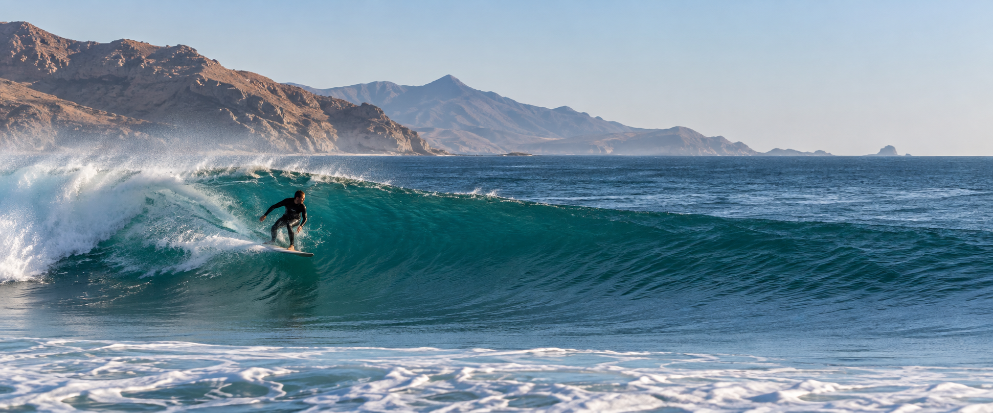
Surfing
Discover surf breaks along northern Baja’s Pacific coastline.
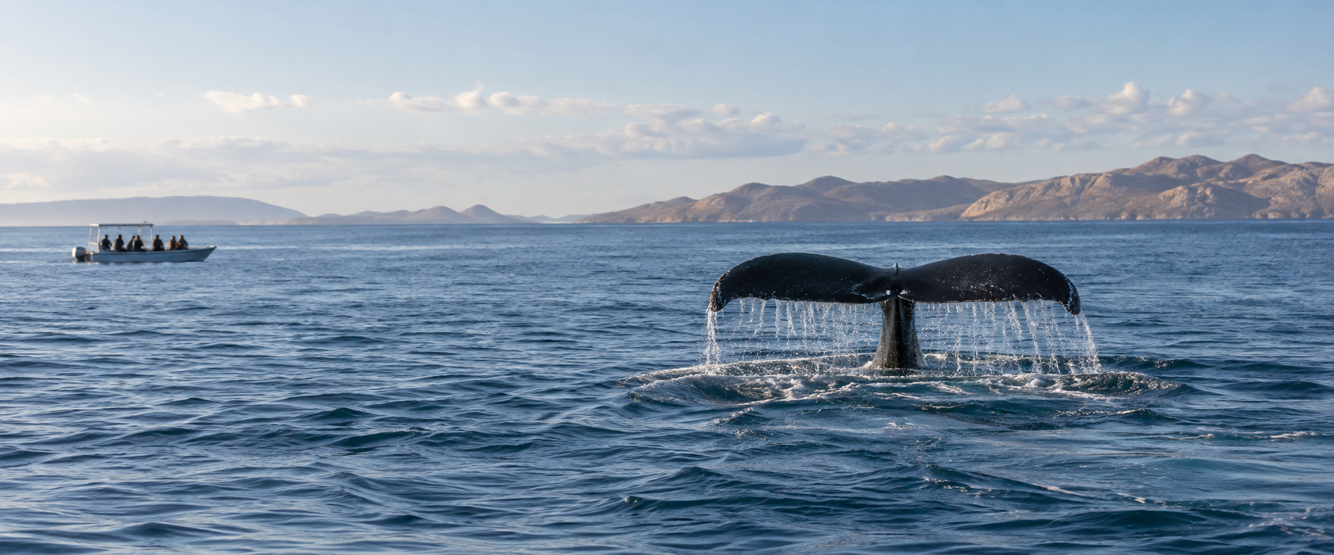
Whale watching
Experience seasonal whale watching along Baja California’s Pacific coast.
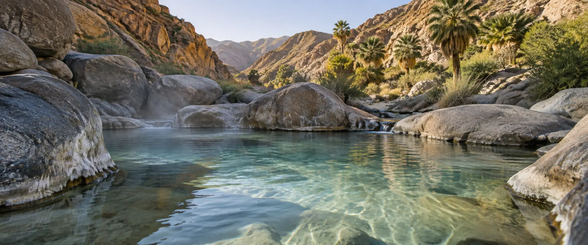
Hot springs
Unwind in natural hot springs in the wider Baja region.
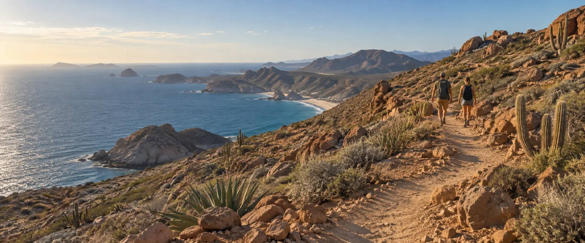
Hiking
Explore desert landscapes, coastal hills and sweeping ocean views on foot.
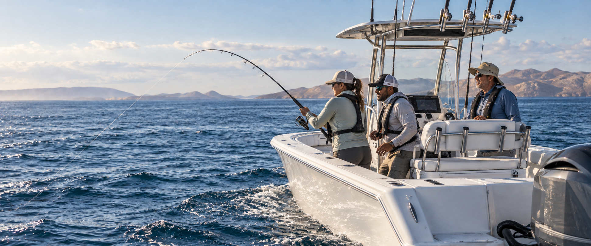
Fishing
Cast a line into the Pacific and enjoy a day on the water against the backdrop of Baja’s dramatic coastline.